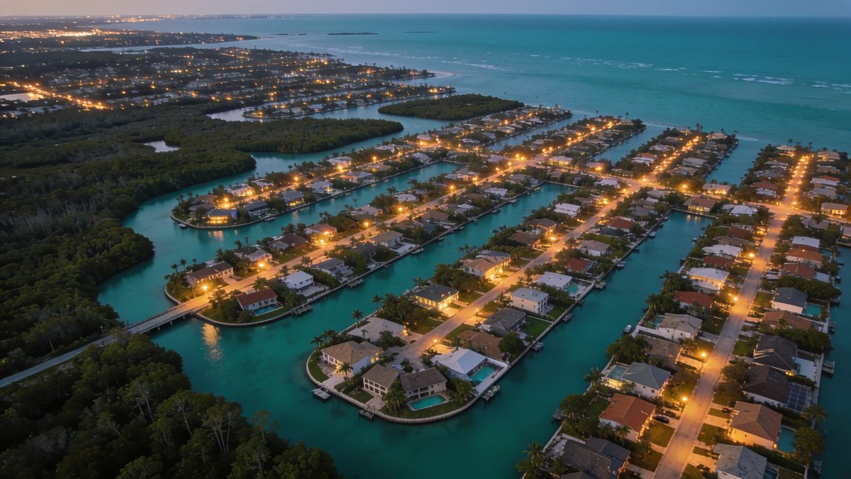
Broward County has 28,166 vacant parcels and 78,313 owners who mail somewhere else
Every figure on this page is a count from the Florida Department of Revenue statewide cadastral roll, pulled county-direct. Not an estimate, not a vendor's normalized copy. Check any of it against the Broward County Property Appraiser.
What arrives, column by column
Delivered as one CSV, zipped with a README that carries the source, the filter you asked for and the publishing agency's own disclaimer. Same day.
Every column in the file
- InOwner Nameas the county carries it
- InProperty Addresssitus street, city and ZIP
- InOwner Mailing Addressstreet, city, state and ZIP
- InParcel Numberthe county's own APN
- InDOR Use Codethe raw three digits, not a bucket
- InJust Valueand land value, separately
- InCountyand state, on every row
What is not in it
- Not inAcresthe DOR extract we hold carries no acreage column. Connecticut, Vermont and New Jersey files do.
- Not inHomestead exemption flagnot in this extract, though the roll holds one.
- Not inSale date and sale pricenot in this extract.
- Not inPhone or emailwe do not have them and will not imply we do.
We print this before you pay because it is what we would want to read. If one of these lines is a dealbreaker, do not buy the file.
Actual records from the Broward County file
| Parcel Number | Owner Name | Property Address | City | ZIP | Owner Mail City | ST | DOR | Just Value | Flag |
|---|---|---|---|---|---|---|---|---|---|
| 504030052330 | WAN••• | 4••• FOXTAIL LN | WESTON | 33331 | WESTON | FLORIDA | 001 | $824,570 | Out of state |
| 504030050470 | TERZO,ESTEFANY ••• | 4••• MAHOGANY RIDGE DR | WESTON | 33331 | WESTON | FLORIDA | 001 | $540,280 | Out of state |
| 504136063040 | BATHARD,LOURDES ••• | 4••• SW 48 CT | DANIA BEACH | 33314 | DANIA BEACH | FLORIDA | 001 | $421,320 | Out of state |
| 504030050480 | ARAUJO,GLORIELA ••• | 4••• MAHOGANY RIDGE DR | WESTON | 33331 | WESTON | FLORIDA | 001 | $522,830 | Out of state |
| 504130030480 | LOPEZ ••• | 4••• SW 104 AVE | COOPER CITY | 33328 | COOPER CITY | FLORIDA | 001 | $673,920 | Out of state |
| 504025060050 | COOPER ••• | 1•••• GRIFFIN RD | COOPER CITY | 33330 | DAVIE | FLORIDA | 026 | $2,257,460 | Out of state |
Want more than six? Ask for the free 500-row sample and check it against the Broward County record yourself before you spend anything.
Where the owners are
Mailing address
752,606 of 752,606 parcels (100.00%) have an owner mailing address on file.
Top states outside Florida
What the parcels actually are
| Code | What it is | Parcels | Share |
|---|---|---|---|
| 001 | Single family | 390,654 | 51.9% |
| 004 | Condominium | 253,211 | 33.6% |
| 008 | Multi-family under 10 units | 16,450 | 2.2% |
| 000 | Vacant residential | 6,800 | 0.9% |
| 002 | Mobile home | 4,138 | 0.5% |
| 010 | Vacant commercial | 1,832 | 0.2% |
| 003 | Multi-family 10+ units | 1,672 | 0.2% |
| 096 | Sewage, borrow pits, marsh, swamp, waste land | 664 | 0.1% |
| 069 | Ornamentals, misc agricultural | 358 | 0.0% |
| 040 | Vacant industrial | 265 | 0.0% |
What is missing, before you buy
Counted on this county's rows, not estimated from the state. Where a property street address is absent it is because the roll carries a placeholder (NO SITUS, RIGHT OF WAY, SUBMERGED) instead of an address; we blank those rather than ship the placeholder as if it were a street.
Largest places in the county
The Broward County file
Every parcel with owner name, property address, the owner mailing address the county has on file, parcel number, just value, land value, and the original three-digit DOR use code. CSV, same day.
Recorded data pull: 2026-09-05. This is not the source publication date or a live ownership check. Coverage is checked before checkout; filtered counts can be lower than the geography total. Download the coverage manifest.
Or the whole state, all 67 counties, for $1,500. Buy Florida. Prefer to look around first? Read the full explanation.
Florida recorded-address cut: Pick Owner mailing address differs from the property address in the filter list to get rows where the complete owner mailing address differs from the complete property situs address. ZIP+4 is compared by its five-digit base; incomplete, placeholder, or invalid address rows are excluded. This is a recorded address difference, not a claim about occupancy or residency.